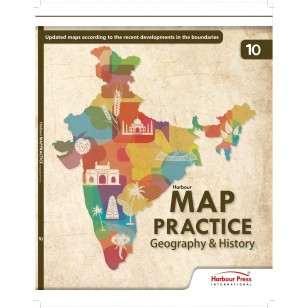
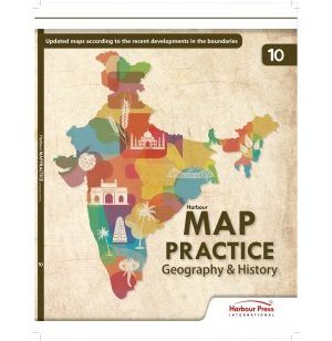
Harbour Map Practice Geography & History for Class 10
₹300 ₹270
Harbour Map Practice Geography & History: The following pertain to all maps in this book.
Out of stock
Harbour Map Practice Geography & History: The following pertain to all maps in this book.
Government of India, Copyright.
- Based on survey of india map.
- The responsibility for the correctness of internal details rests with the publisher.
- The territorial waters of india extent into the sea to a distance of twelve nautical miles measured from the appropriate baseline.
- The interstate boundaries between Arunachal Pradesh, Assam and Meghalya shown on the maps are vas interpreted from the North-Eastern Areas (Reorganisation) Act, 1971, but have yet to be verified.
- The state boundaries between Uttar Pradesh & Uttrakhand, Bihar & Jharkhand, Madhya Pradesh & Chhattisgarh and Andhra Pradesh & Telangana have not been verified by the Governments concerned.
- The external boundaries and coastlines of india are based on the Record/Master copy of Survey of India.
- The Scale given on the maps is approximate.
About the Publisher:-
Harbour Press International is the proud publisher of some great authors and eminent works of gifted storytellers. At Harbour, we believe that literature can provide a sense of imagination and give soul to our body. There’s a book on our shelves for every reader, and we relish the opportunity to publish across every category and interest with utmost care and enthusiasm.
Harbour Press International is one of the leading academic publishers based out of Mumbai. We believe in providing accurate, authentic and skillful knowledge to our students.


