-
×
 Dreamland Atlas of India
1 × ₹360
 -
×
 Arihant All In One NCERT Based Hindi for Class 6 (2025)
1 × ₹260
 -
×
 Madhubun Educational Atlas
1 × ₹460
 -
×
 S. Chand's Atlas : The World Explorer
1 × ₹350
 -
×
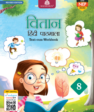 Madhuban CBSE Vitaan Hindi Pathmala for Class 8
1 × ₹540
 -
×
 Dreamland Barbie Copy Colouring Book
1 × ₹112
 -
×
 Dreamland Hot Wheels Bumper Colouring & Puzzle Book
1 × ₹225
 -
×
 Tulip Discover and Develop Pre Primary Package (Upper KG)
1 × ₹1,800
 -
×
 Tulip Discover and Develop Pre Primary Package (Nursery)
1 × ₹1,530
Subtotal: ₹5,637


